What if global averages are hiding a far more urgent reality closer to home? By analyzing ten climate models, artificial intelligence reveals that several regions could breach critical thresholds much sooner than previously anticipated. A new, more precise, and concerning warming map is emerging.
The misleading global average versus significant regional warming disparities
For years, the figure of 1.5 °C of warming has dominated scientific reports and international summits as a critical global benchmark. While this reference point is helpful, it functions much like the average temperature of a patient; it can indicate a fever but fails to reveal which specific organs are already suffering.
In reality, certain landmasses are heating up much more rapidly than oceans. Polar regions, continental areas, and already dry territories are hitting high temperature thresholds sooner than expected. Consequently, this dynamic creates a growing risk geography that remains challenging to pinpoint accurately.
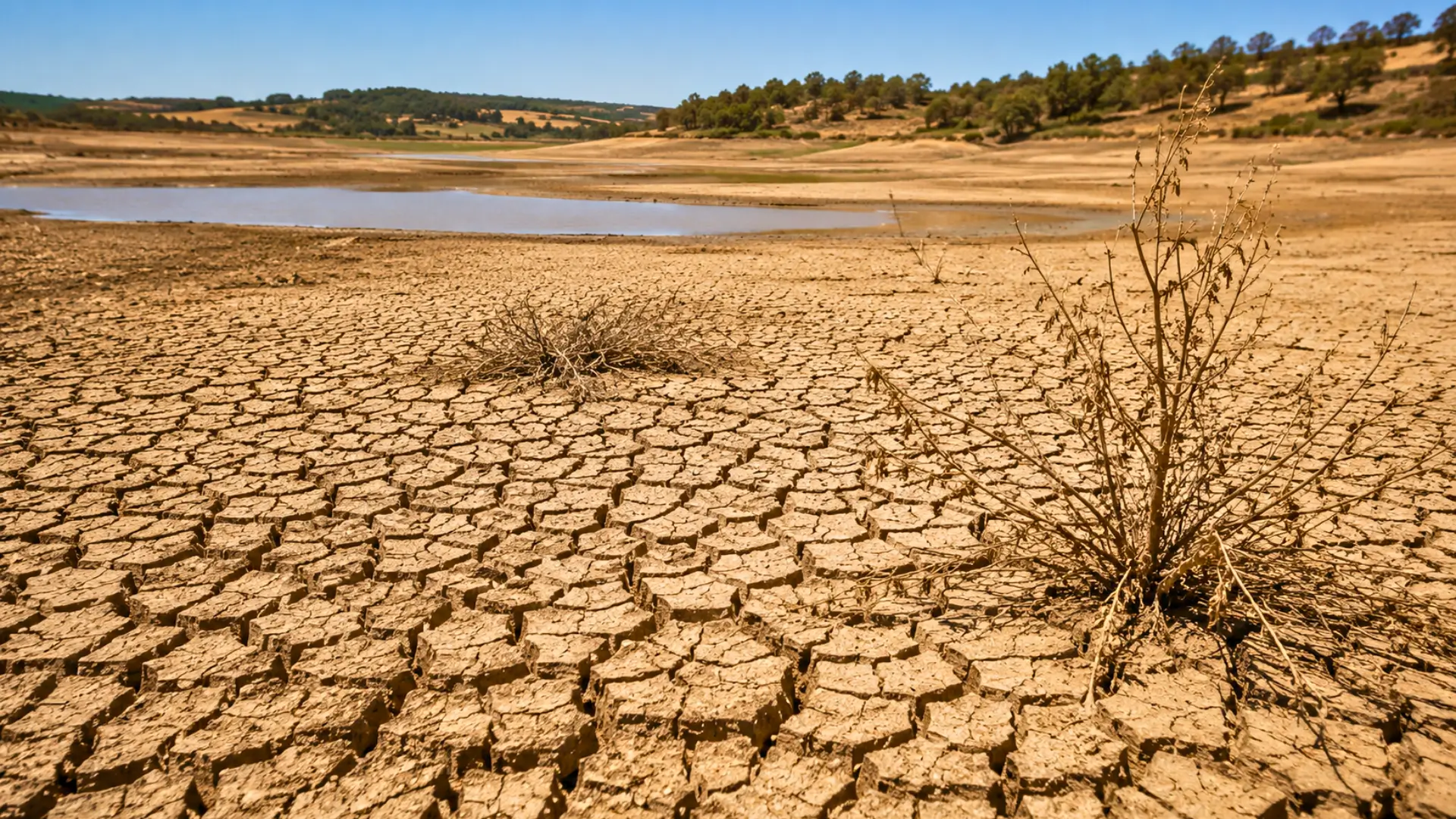
According to the IPCC, global temperatures had risen approximately 1.1 °C above pre-industrial levels between 2011 and 2020. However, beneath this average lurk tangible phenomena: heatwaves, tropical nights, and drying soils are becoming increasingly frequent, while agricultural seasons are significantly disrupted.
Artificial intelligence refining climate models for more accurate predictions
To refine these predictions, researchers from Colorado, Stanford, and ETH Zurich utilized transfer learning. This method enables artificial intelligence to leverage acquired knowledge, accelerating progress on similar tasks.
The algorithm does not replace traditional climate models; instead, it analyzes the outputs of ten distinct models. It identifies relationships between emissions, temperatures, and future trajectories. These findings, published in Environmental Research Letters, aim to minimize uncertainties and clarify timelines at a regional level.
Critical climate thresholds reached earlier in many regions worldwide
The results suggest disturbing implications. Among the 46 regions studied, 34 could surpass the 1.5 °C mark as early as 2040. Additionally, in 31 of these regions, temperatures may reach 2 °C by that date, which is less than fifteen years away. Even more striking, 26 regions could exceed 3 °C prior to 2060. However, this threshold does not apply to the planet as a whole but rather reflects local realities.
This means that certain populations may experience conditions akin to the most extreme scenarios much earlier than the century’s close. Of course, these figures are not absolute certainties. They are grounded in scenarios and probabilities. Nevertheless, the message remains clear: the danger is unevenly distributed, and waiting for a global average could delay urgent local actions.
Essential regional forecasts to adapt cities and infrastructure for future climate
For municipalities, metropolitan areas, or regions, understanding the pace of warming can make a significant difference. Often, there will be a need to adjust water networks, green urban spaces, or change work hours during heatwaves. In agricultural settings, some crop varieties must also adapt. Thus, a few years of timing could determine whether these measures are implemented before or after a crisis.
This issue extends to sustainable infrastructure. Schools, dams, and railways are designed to last for decades and must withstand the climate conditions of the 2050s. Therefore, regional projections help avoid constructing based solely on yesterday’s temperatures.
While artificial intelligence will not cool the planet and does not replace climate policies, it enhances our ability to understand risks and identify the most vulnerable areas. A lingering question remains: if the timeline accelerates, will decision-making keep pace?