Deep beneath millions of acres of American crops lies a vast reservoir of water that has drastically shaped the Great Plains. However, in Kansas and Texas, this essential resource is being depleted far more rapidly than nature can replenish it. Some wells have already experienced declines of over 80 meters. Just how deep can the Ogallala Aquifer go?
The hidden treasure beneath the Great Plains
At first glance, nothing seems amiss. However, beneath vast fields of wheat, corn, and cotton lies a formidable underground reservoir composed of sand, gravel, and silt. The Ogallala Aquifer spans roughly 450,000 square kilometers across eight U.S. states, from South Dakota to Texas.
Following World War II, the introduction of powerful pumps revolutionized agricultural practices in the region. This previously inaccessible water enabled large-scale irrigation in semi-arid lands. Yet, a troubling realization emerged decades later: this reserve is not infinite. Massive withdrawals are depleting it at a rate far greater than it can naturally replenish.
A staggering statistic: some areas have lost over 80 meters of water
Measurements from the US Geological Survey tell this story with alarming precision. Between the pre-intensive irrigation period around 1950 and 2019, the average level of the aquifer declined by about five meters. However, this figure masks significant regional disparities.
In certain monitored wells in Texas, the decline has reached 265 feet, or nearly 81 meters. Overall, approximately 286 million acre-feet (around 353 trillion liters) of recoverable water have vanished since intensive development began, which represents roughly 10 percent of the estimated reserve.
The geographical contrast is striking. Some regions in Nebraska have experienced relatively stable, or even increasing, levels, while Texas and western Kansas bear the brunt of the dramatic losses. Thus, the Ogallala is not collapsing uniformly, but its southern areas subjected to intense irrigation are particularly affected.
Why a few years of rain will never undo decades of pumping
An aquifer is not a subterranean lake that replenishes with every storm. Water must filter through soil and geological layers before reaching the aquifer. In the driest areas, a significant portion of precipitation evaporates back into the atmosphere. Therefore, natural recharge is exceedingly slow, especially in the south.
The Kansas Geological Survey provides a poignant illustration: the estimated annual natural recharge of the Ogallala aquifer is about 0.75 million acre-feet (around 930 billion liters of water), while historically, much larger volumes have been extracted. In some areas, more than 60 percent of the aquifer’s original thickness has already vanished.
When water becomes too deep, agriculture in the Great Plains must reinvent itself
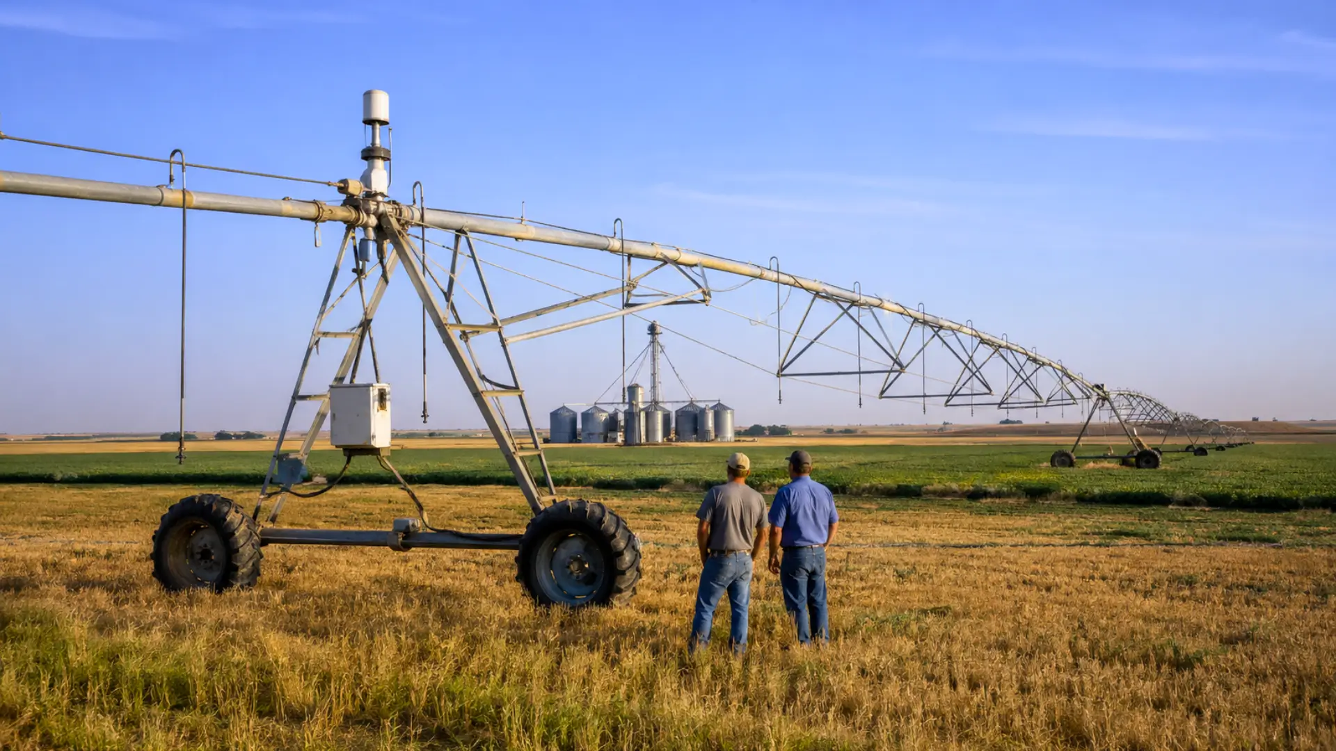
The loss of water does not equate to wells running dry overnight. Initially, flow rates decrease while pumping costs increase. Eventually, a point is reached where it no longer makes economic sense to supply the massive circular irrigation systems visible from the air.
In the Texas Panhandle, readings published in 2025 showed an average saturated thickness of the Ogallala at approximately 51 feet, or 15.5 meters, with a new average decline of 0.66 feet (20 centimeters) per year. For some producers, each season brings them closer to a point where irrigation will have to be halted.
However, Kansas has shown that some recovery is possible. After decades of decline, consolidated data indicated that the southwestern part of the state lost just 1.36 feet (around 41 centimeters) in 2024 and 0.62 feet (19 centimeters) in 2025. Voluntary reductions in withdrawals, less water-intensive crops, and new irrigation practices may help buy some time.