What if part of the rain that falls on South America traveled through an immense invisible network high above the forests and mountains? A new map reveals how these “air rivers” transport moisture across a continent.
Invisible waterways traverse the South American sky
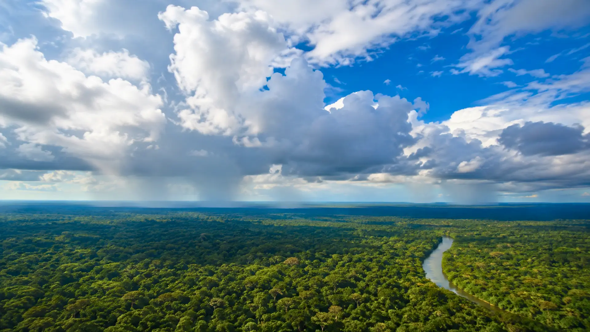
Unseen valleys and riverbeds carved in stone do not define them. Yet, genuine highways of water vapor continuously travel through the South American atmosphere. Researchers refer to these as “air rivers.” Essentially, these corridors allow moisture to flow preferentially over long distances before eventually falling as rain far from its source.
In August 2026, a study published in a scientific journal provided a continent-wide map of these phenomena. Unlike typical atmospheric rivers, which are short-lived weather events, these networks represent persistent moisture circulations. They emerge from cumulative analyses of various weather situations over time.
Mapping the watersheds of the sky
To track this elusive water source, scientists combined climate data and mathematical modeling. They assessed 724 regions across South America to pinpoint terrestrial areas that contribute moisture falling as precipitation elsewhere.
This system resembles an inverted watershed. On the ground, rivers collect water and transport it downstream. In the sky, evapotranspiration powers the system, while winds carry moisture over vast distances. Precipitation acts as the outlet, creating a continuous cycle among forests, soils, and oceans.
The new map also highlights an important nuance: not all moisture sources have the same impact. Researchers identified tipping points. Beyond certain thresholds, adding more territory contributes very little additional moisture. This insight, though technical, helps target areas whose protection truly influences rainfall elsewhere.
The loss of a forest may close valves much farther away
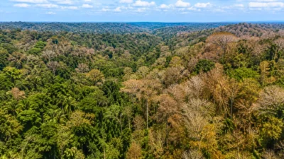
This concept becomes particularly tangible. An Amazonian tree does not merely absorb water from the soil. It also releases some back into the atmosphere through transpiration. This recycled moisture from vegetation can then travel, form clouds, and fuel rainfall often located at significant distances.
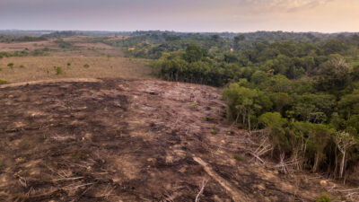
Research published in 2026 demonstrated that deforestation disrupts evapotranspiration in South American ecosystems. The effects linger about 21 to 22 percent longer compared to those of isolated events like fires or droughts. Gradually, this weakens the water exchange between vegetation and the atmosphere.
The Ucayali basin in Peru exemplifies this issue. Estimated findings in the study indicate that deforestation in upstream areas of atmospheric flows could decrease annual precipitation by 5 to 13 percent. At first glance, this figure seems modest, but its effects can profoundly alter local ecosystems.
In Peru, a few percentage points of lost rainfall could reshape ground rivers
With less moisture falling from the sky, annual runoff could drop by 19 to 50 percent. This amplification clearly illustrates that a hydrological system does not always respond in a linear manner. Minor changes in rainfall can significantly affect river flows, soil moisture, and resource availability.
The paradox is striking. Protecting water in one region may rely on forests located hundreds of kilometers away, sometimes even in different countries. A study published in a leading journal notes that moisture recycled in the Amazon influences water resources across vast areas of the continent, extending well beyond its borders. Researchers are now considering applying this method to other global regions.
This perspective shifts water management from solely focusing on visible lakes, reservoirs, and aquifers to include invisible atmospheric watersheds. Ultimately, some vital rivers may still exist without ever appearing on traditional maps while significantly influencing terrestrial rainfall patterns.